Parent Directory
Parent Directory
Parent Directory
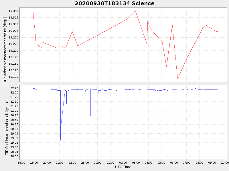
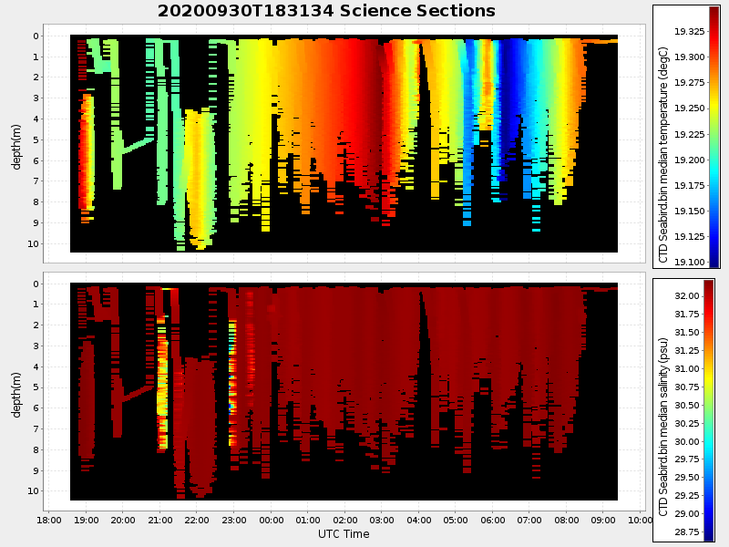
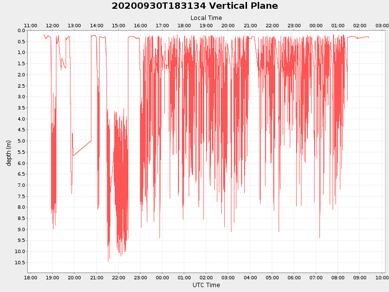
| Start time | End time | Last Latitude & Longitude |
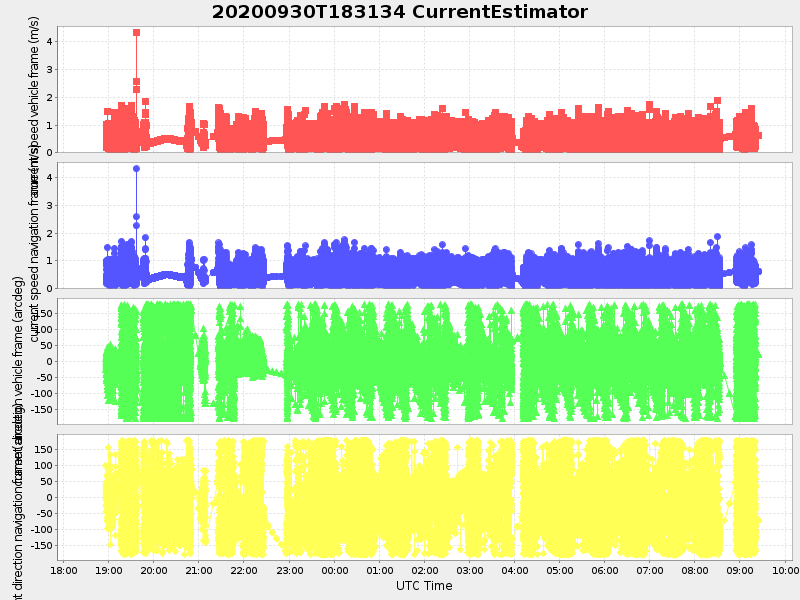
Current (1hr avg) |
|---|---|---|---|
| 2020/09/30 18:36:57 GMT 2020/09/30 11:36:57 local |
2020/10/01 09:24:53 GMT 2020/10/01 02:24:53 local |
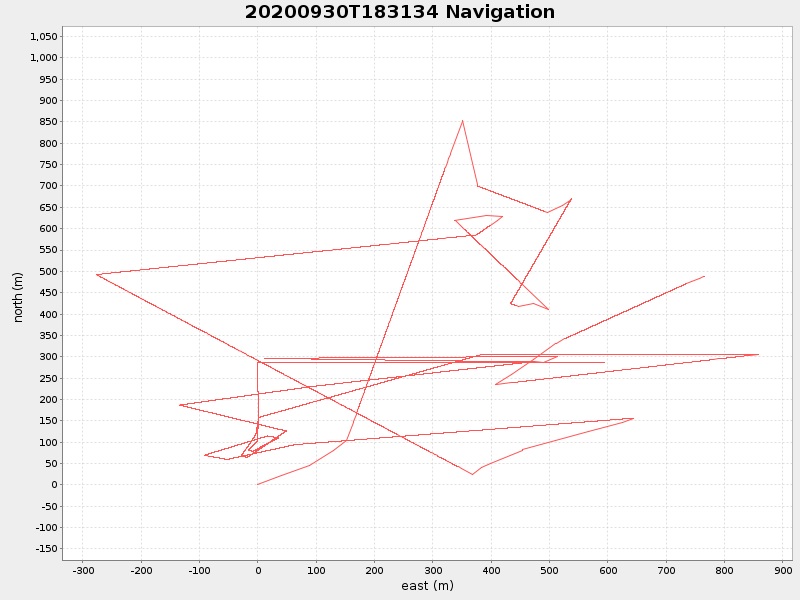
41.55365701015151 -70.70077981561852 |
2.595521744096147 Amp |
| Downloads: | ||||
| shore.nc shore.mat |
shore.kml shore.kmz |
shore.asc shore.dir |
shore.csv shore.log |
argos_24hr.kml argos_week.kml, argos_month.kml |
| Elapsed time since start: ... | Elapsed time since last valid data: ... |