Parent Directory
Parent Directory
Parent Directory
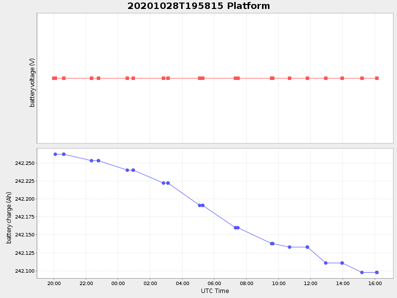
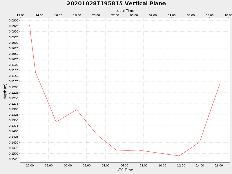
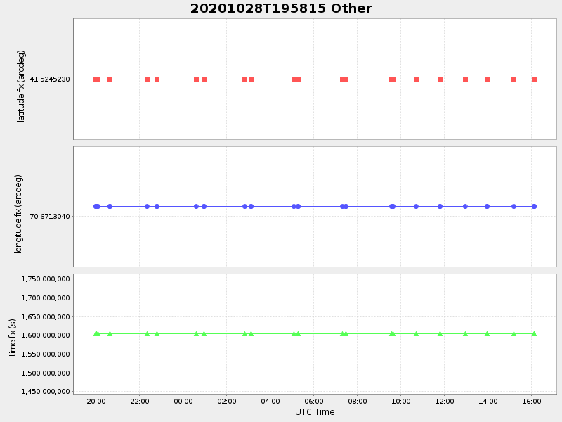
| Start time | End time | Last Latitude & Longitude |
Current (1hr avg) |
|---|---|---|---|
| 2020/10/28 19:58:30 GMT 2020/10/28 12:58:30 local |
2020/10/29 16:07:47 GMT 2020/10/29 09:07:47 local |
41.524522999996904 -70.67130399918567 |
0.006153687103932265 Amp |
| Downloads: | ||||
| shore.nc shore.mat |
shore.kml shore.kmz |
shore.asc shore.dir |
shore.csv shore.log |
argos_24hr.kml argos_week.kml, argos_month.kml |
| Elapsed time since start: ... | Elapsed time since last valid data: ... |