Parent Directory
Parent Directory
Parent Directory
| Start time | End time | Last Latitude & Longitude |
Current (1hr avg) |
|---|---|---|---|
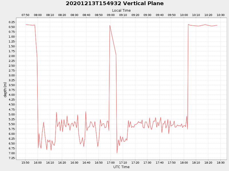
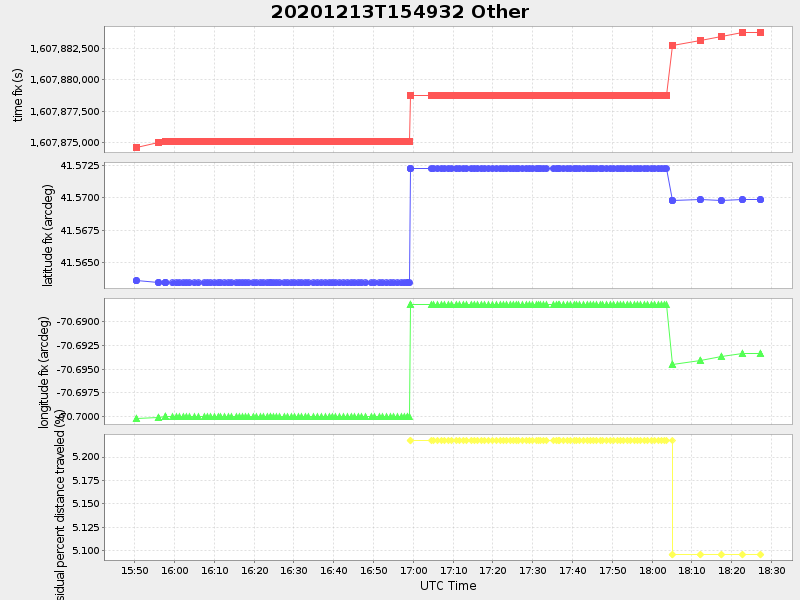
| 2020/12/13 15:50:20 GMT 2020/12/13 07:50:20 local |
2020/12/13 18:27:18 GMT 2020/12/13 10:27:18 local |
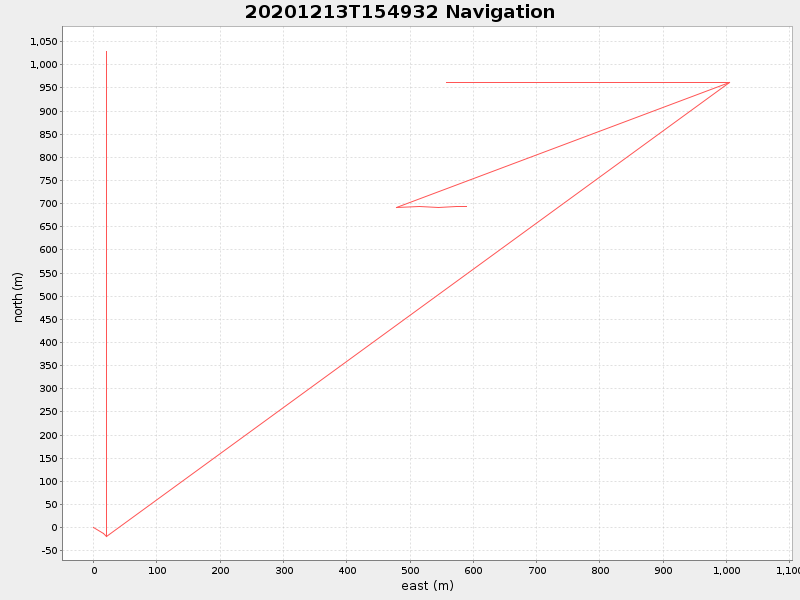
41.56985960332678 -70.69313809792249 |
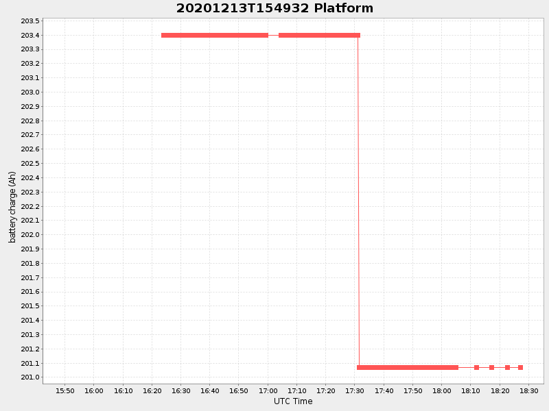
2.2973205093729345 Amp |
| Downloads: | ||||
| shore.nc shore.mat |
shore.kml shore.kmz |
shore.asc shore.dir |
shore.csv shore.log |
argos_24hr.kml argos_week.kml, argos_month.kml |
| Elapsed time since start: ... | Elapsed time since last valid data: ... |