Parent Directory
Parent Directory
Parent Directory
| Start time | End time | Last Latitude & Longitude |
Current (1hr avg) |
|---|---|---|---|
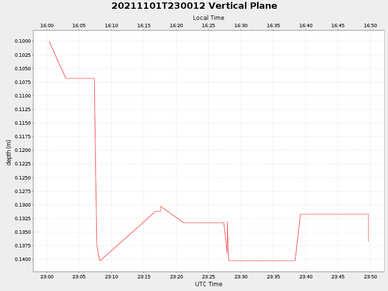
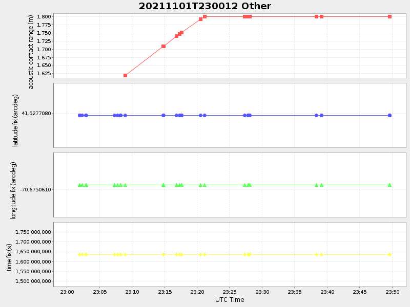
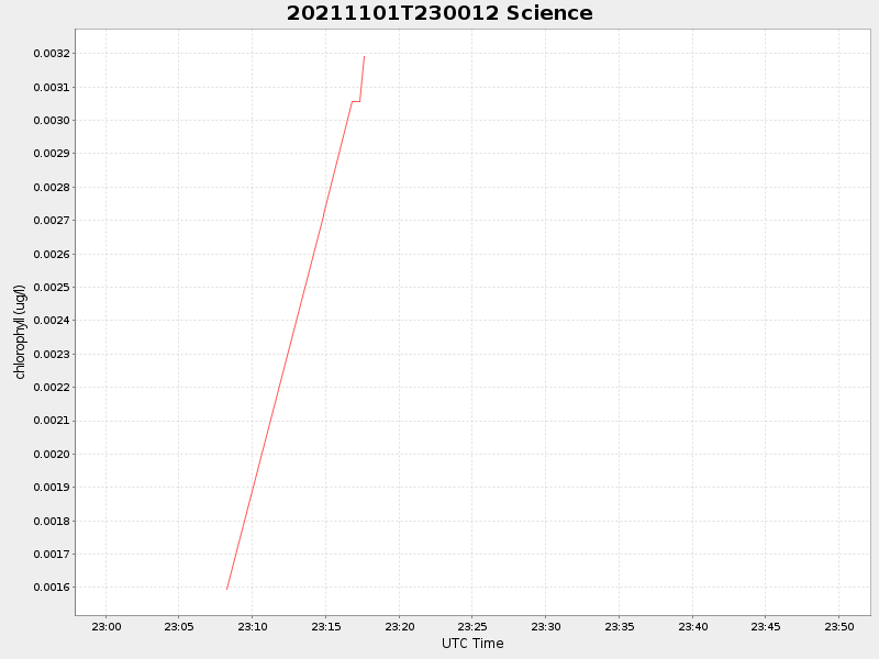
| 2021/11/01 23:00:25 GMT 2021/11/01 16:00:25 local |
2021/11/01 23:49:39 GMT 2021/11/01 16:49:39 local |
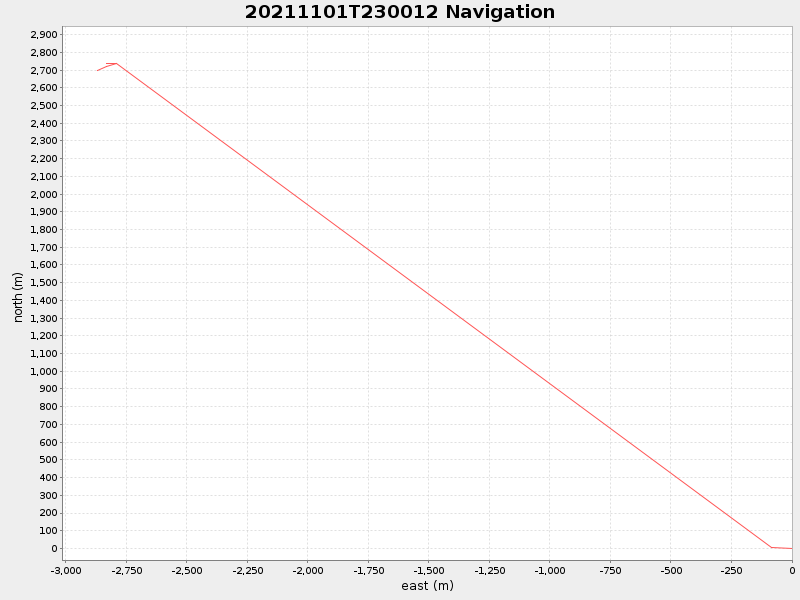
41.55193724614187 -70.70951763943788 |
-0.0 Amp |
| Downloads: | ||||
| shore.nc shore.mat |
shore.kml shore.kmz |
shore.asc shore.dir |
shore.csv shore.log |
argos_24hr.kml argos_week.kml, argos_month.kml |
| Elapsed time since start: ... | Elapsed time since last valid data: ... |